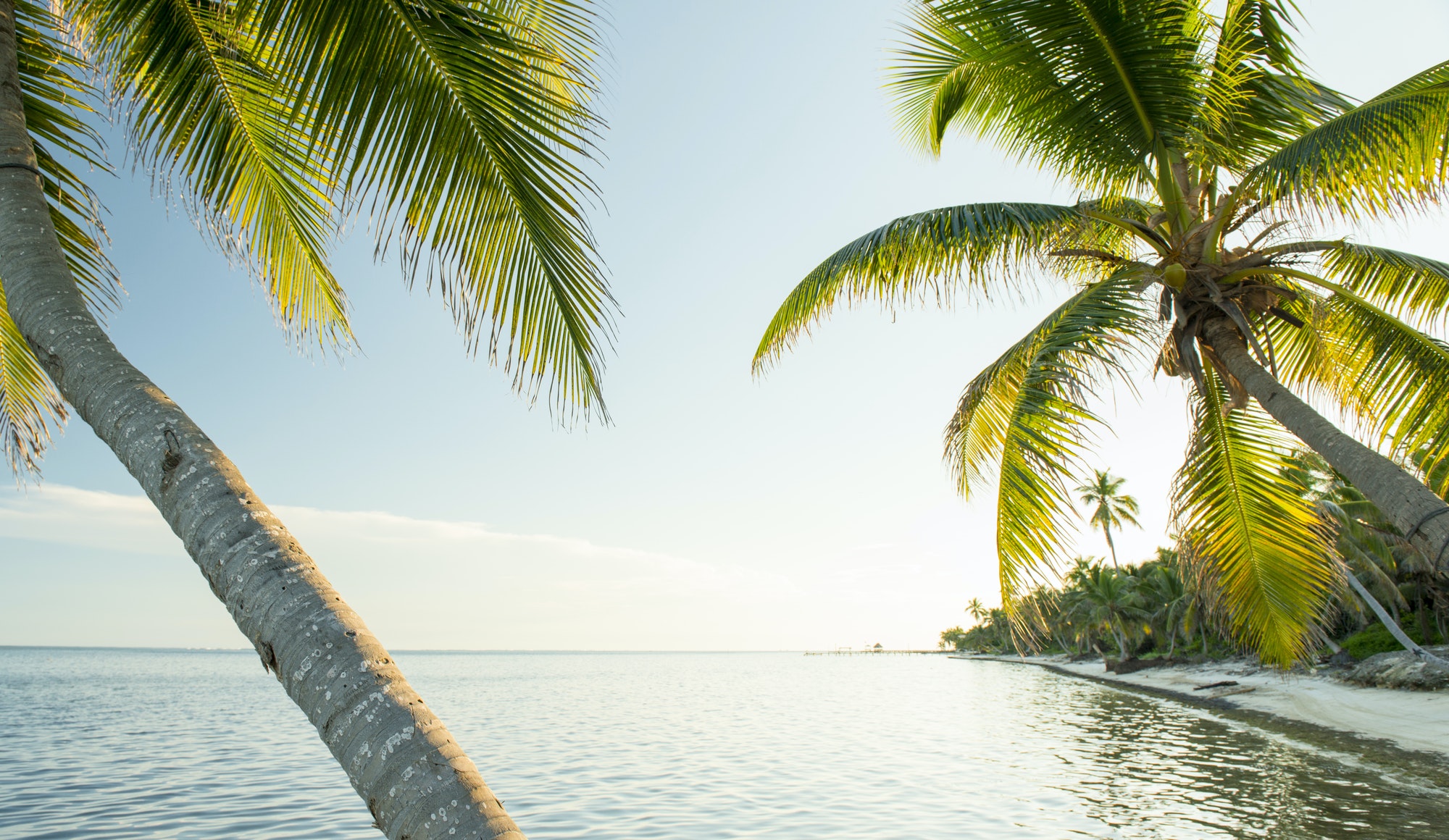
How we have ever told you on the blog, Belize , also known as «The former British Honduras», is a small country located on the coast of the Caribbean in Central America that limits with Mexico and Guatemala. The north of Belize is mostly a very pantanosa coastal plain, as we defined it in the title of this note, drained by the Belize and deep rivers.
The latter, the depth, delimits its border with Mexico.Al Sur, the relief rises abruptly from the narrow coastal strip to the Mayan mountains, plug would be fragmented by mountain ranges whose highest point is Mount Victoria. Along the coast, a chain of small coral islands forms an extensive reef, the second longest in the world after Australia.
The weather in Belize is subtropical with marked seasonal rainfall, usually between July and November. The coastal region is very vulnerable to hurricanes; In 1961 the city of Belize was destroyed and its capital was transferred to Belmopan, within the country.
Dense rainforests cover almost half of the territory and the driest regions are covered by the characteristic vegetation of the savanna. The most exotic bird species find, as well as the infallible pumas, jaguars, crocodiles and manatees.